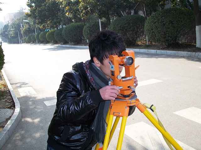
Land Surveyor
Published on
Average Read time: 1 minute 41 seconds
As a land surveyor, you'd be responsible for accurately measuring and mapping the Earth's surface to determine boundaries, locations, elevations, and other spatial data. Here's an overview of the typical tasks and responsibilities involved in land surveying:
Boundary Surveys: Identifying and marking property lines and boundaries to establish legal property descriptions for real estate transactions, land development, and construction projects.
Topographic Surveys: Measuring and mapping the natural and man-made features of a piece of land, including elevation contours, vegetation, buildings, roads, and water bodies, to support engineering and design projects.
Construction Surveys: Providing precise measurements and layout services to guide the construction of roads, buildings, bridges, pipelines, and other infrastructure projects according to engineering plans and specifications.
Global Positioning System (GPS) Surveys: Using GPS technology to accurately determine the geographic coordinates of survey points, often in remote or inaccessible areas, for various applications including mapping, navigation, and geographic information systems (GIS).
Geodetic Surveys: Conducting surveys to establish control networks and reference frameworks for accurately measuring and mapping large areas of the Earth's surface, taking into account the curvature of the Earth and other geodetic factors.
Cadastral Surveys: Creating and maintaining cadastral maps and land records to document land ownership, property boundaries, and land use rights for taxation, land management, and legal purposes.
Legal Research and Documentation: Reviewing historical records, deeds, plats, and other legal documents to verify property ownership, resolve boundary disputes, and ensure compliance with relevant land surveying laws and regulations.
Data Analysis and Reporting: Analyzing survey data using specialized software and tools to generate maps, drawings, reports, and other deliverables that communicate survey findings to clients, stakeholders, and regulatory agencies.
Quality Assurance and Quality Control: Implementing rigorous quality assurance and quality control measures throughout the surveying process to ensure the accuracy, reliability, and integrity of survey data and results.
By providing accurate and reliable surveying services, you play a crucial role in supporting land development, infrastructure projects, environmental management, and land administration efforts, contributing to the sustainable use and management of land resources.